FEATURES / CIRCUIT DEFINITION
Every part of the lap,
deliberately defined.
Turn a rough geographic trace into an ordered circuit definition. See what each stage adds—and why it matters.
GPX & GPS SETUP
Bring the circuit into context.
What it is
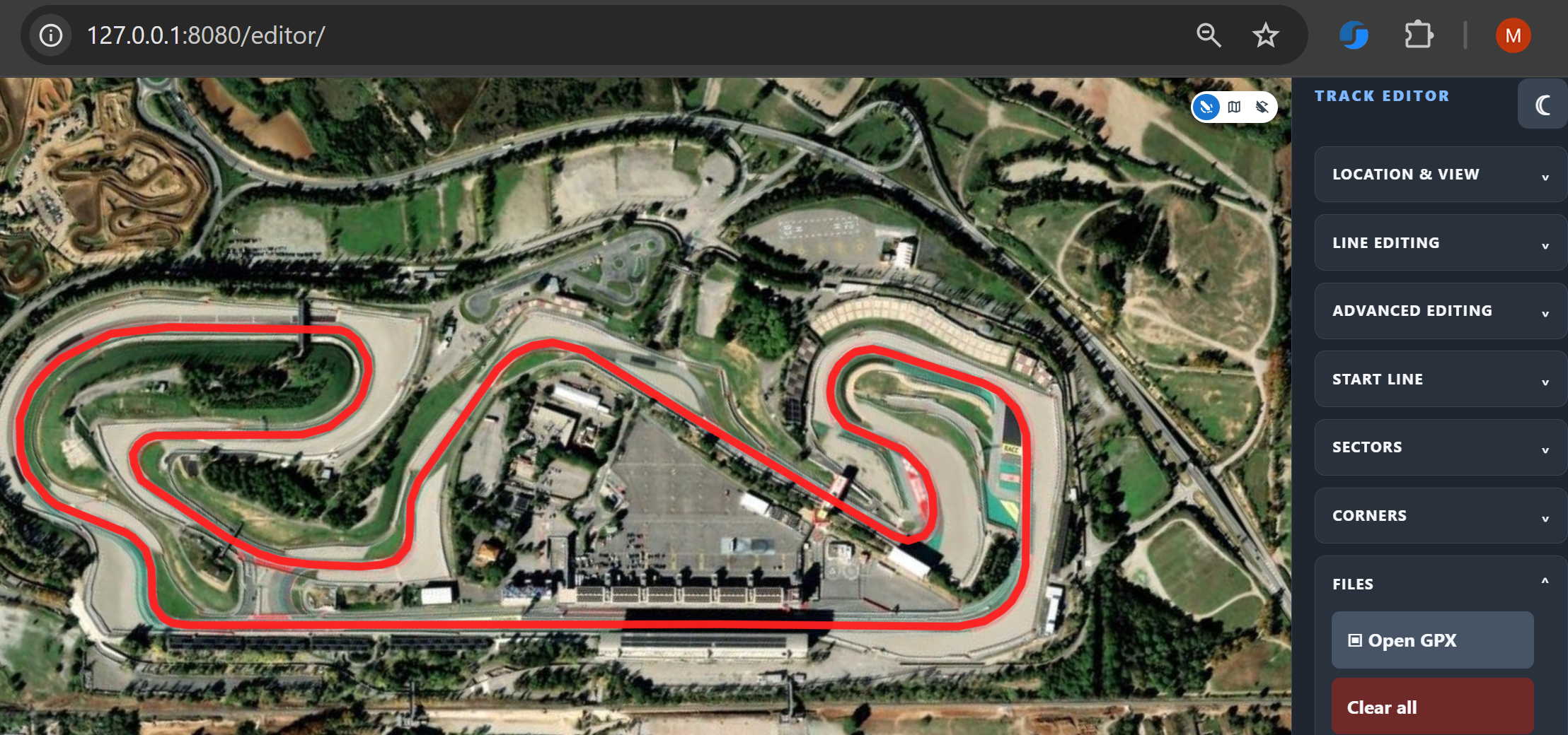
Open a GPX trace or establish a position from GPS coordinates.
Why it matters
Satellite and street maps make geographic errors visible before structure is added.
PRECISION LINE EDITING
Correct the line with controlled geometry.
How it works
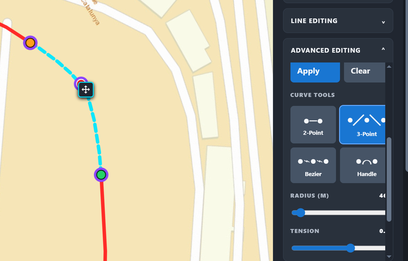
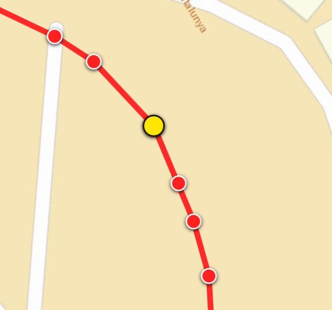
Move nodes, reshape two- or three-point sections, or use Bézier and handle curves. Radius and tension tune the result.
Why it matters
A clean circuit model follows the road, not every wobble in recorded GPS data.
START / FINISH & DIRECTION
Give the lap a reliable origin.
How it works
Place a gate across the trace directly or from GPS, then choose clockwise or counter-clockwise.
Why it matters
One origin and direction keep every later boundary consistently ordered.
SECTORS
Build a measurable sequence.
How it works
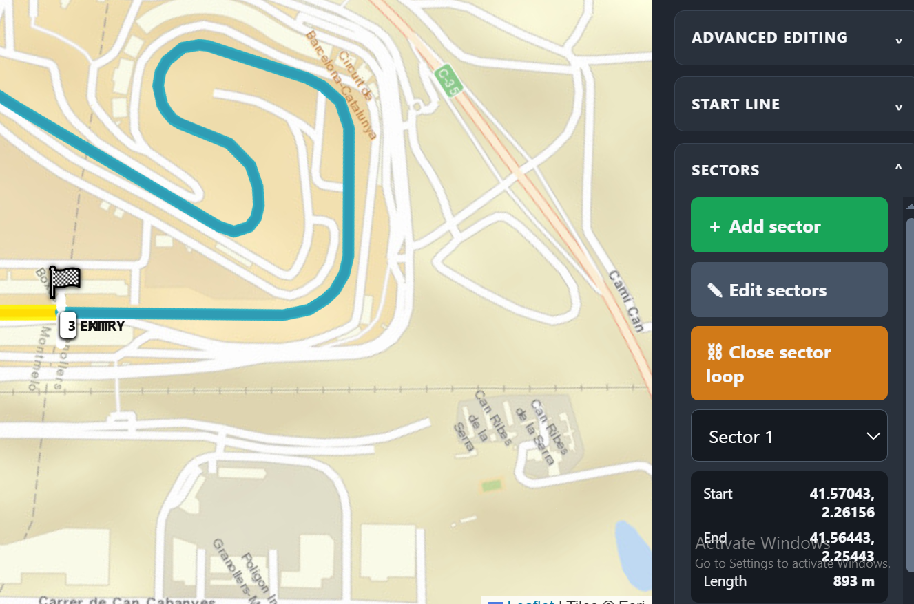
Add sector boundaries, reposition or resize them, inspect exact start, end and length values, then close the loop.
Why it matters
Sectors become ordered parts of the circuit, not decorative overlays.
CORNER ENTRY / EXIT
Describe the whole corner.
How it works
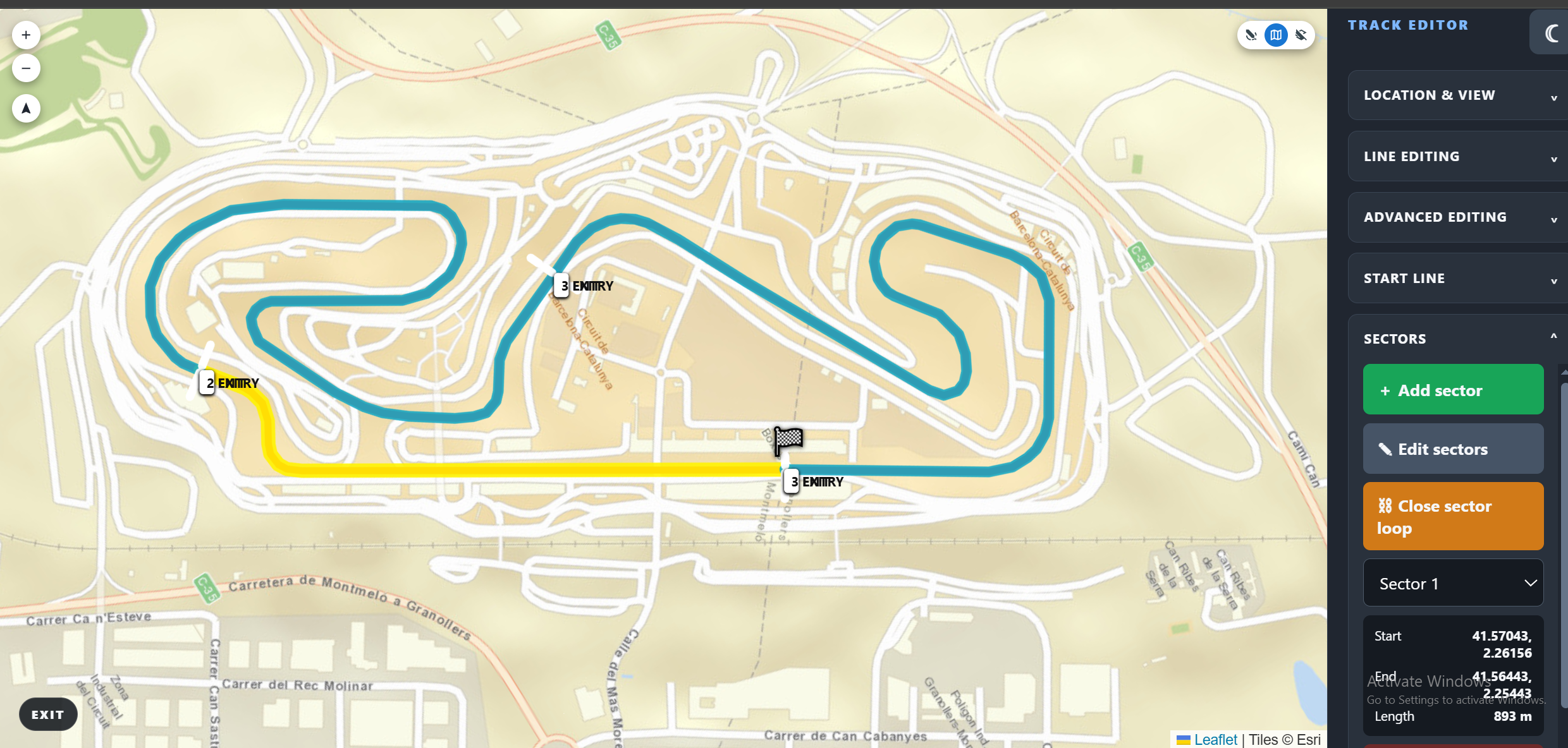
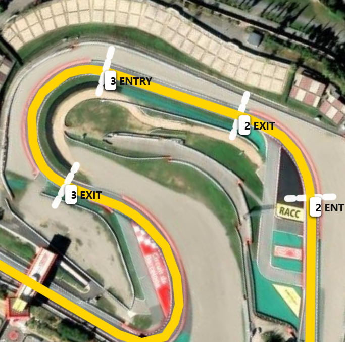
Place ENTRY and EXIT boundaries along the trace. The section between them is the corner definition.
Why it matters
It describes what the driver travels through—not an arbitrary apex marker.
COMPOUND CORNERS
Keep linked bends distinct.
How it works
Add separate numbered definitions where corners overlap or follow closely.
Why it matters
Switchbacks and complex sequences retain the structure a driver recognises.
MAP VERIFICATION
Edit with a real-world reference.
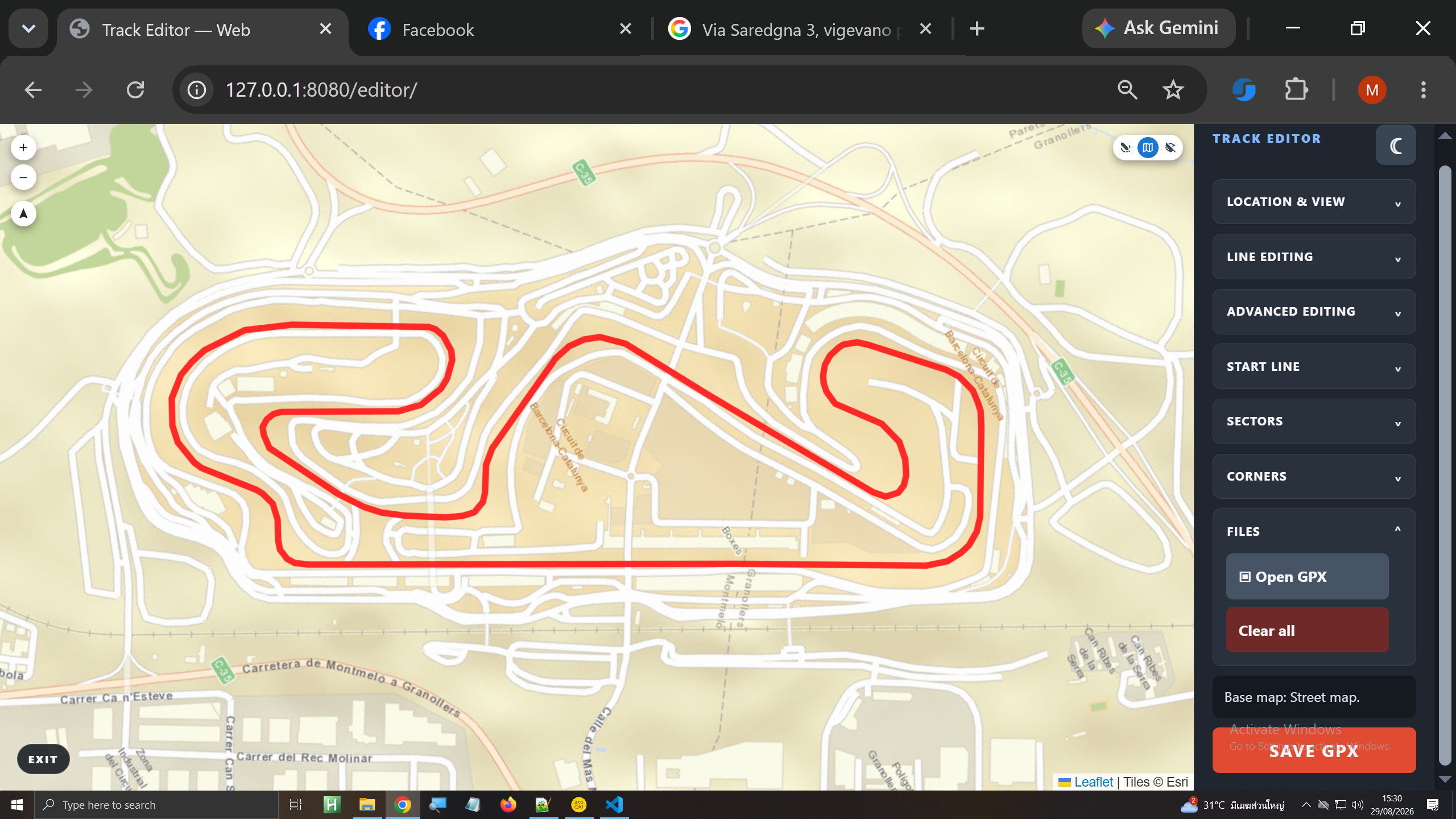
Compare satellite or street-map views, use a blank canvas where useful, rotate the map, reset north and navigate to pasted coordinates.
EDITING & RECOVERY
Safe changes, clean handoff.
- Point insert, move and delete
- Multi-select editing
- Reference GPS positions
- Undo and redo
- Node visibility controls
- Closed-loop creation
- Local autosave and recovery
- GPX and metadata save workflow
SEE THE PROCESS